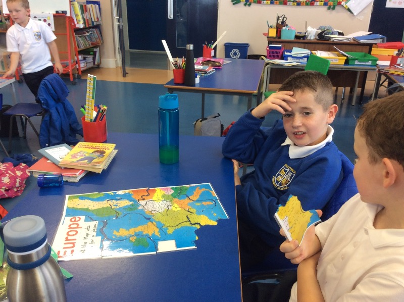
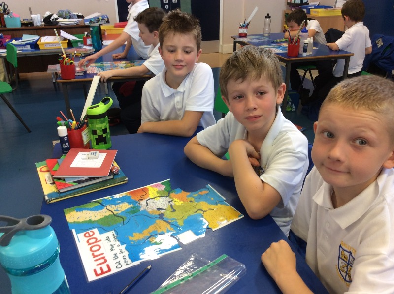
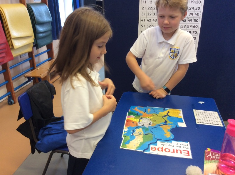
Making these jigsaw maps helped P.3, 4 and 5 understand how close the Viking countries Norway, Sweden and Denmark are to Great Britain and Ireland. We saw that out countries are islands, surrounded by water, perfect for longship raids.